by Jenny Barnett
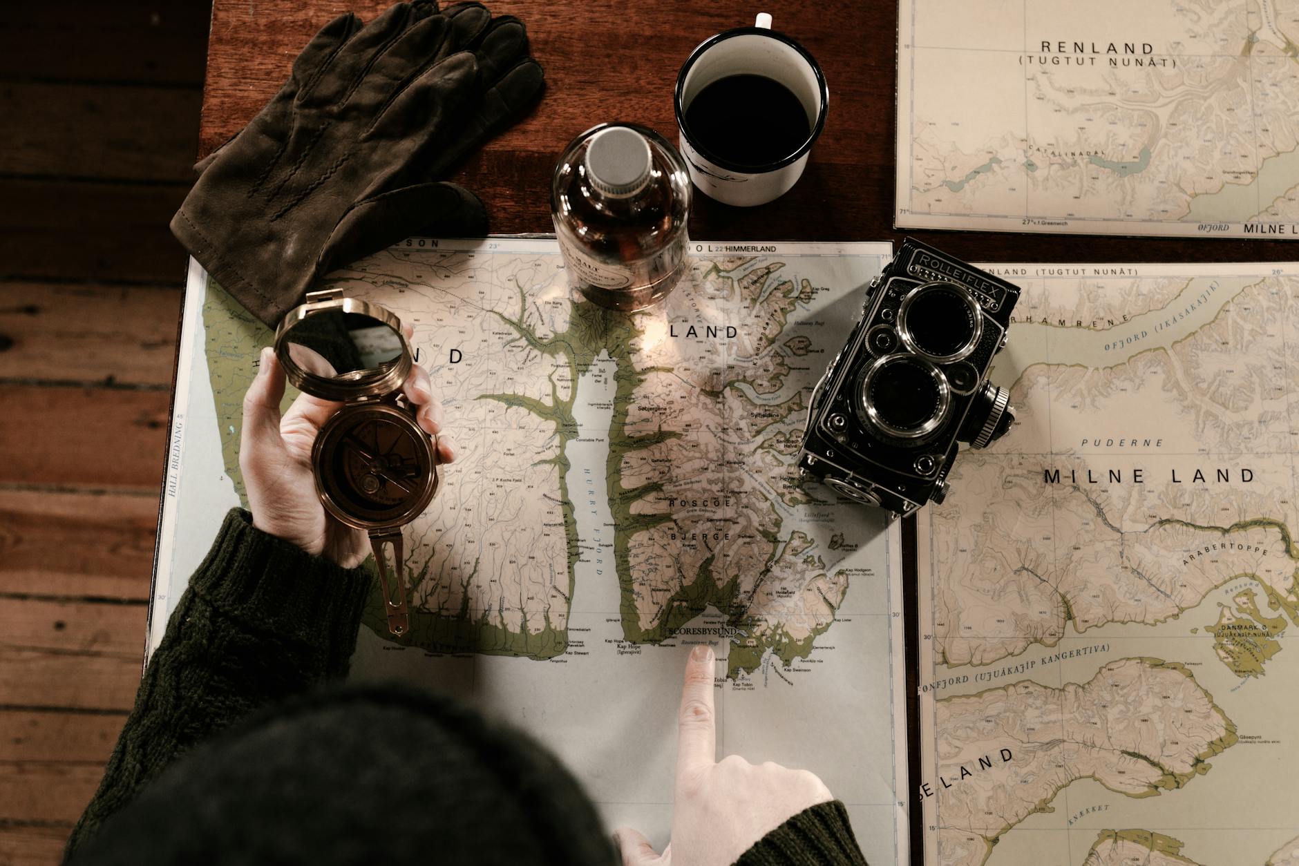
You can tell a lot about a person by how they read a map.
Some folks see squiggles and numbers. The rest of us?
We see stories written into the land:
Ridges. Ravines. Routes that call you home.
A topographic map isn’t just for hikers or hunters. It’s a skill every modern pioneer should have in their back pocket, right next to the pocketknife and the callouses.

What Is a Topographic Map, Exactly?
In short: it’s a map that shows elevation.
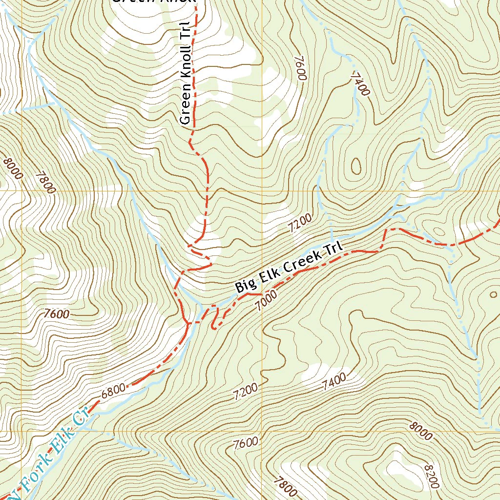
Topo maps use contour lines to represent the shape of the terrain, how steep a slope is, how high a peak rises, how deep a valley runs.
- Close-together lines? Steep terrain.
- Wide-apart lines? Gentle slope.
- Circles? Hills or depressions, depending on how they’re marked.
- Index lines? The darker lines labeled with elevation — usually every 4th or 5th line.
Think of it like reading the bones of the land.
Why Learn to Read a Topo Map?
GPS batteries die. Cell service drops. But even more than that,
Topo maps teach you to see the land, not just follow it. They help you:
- Plan smarter hikes or routes
- Identify landmarks and ridgelines
- Understand how water flows through terrain
- Scout out campsites, lookouts, or dangerous drops
- Develop a real connection with the ground beneath your boots
If you want to feel at home in the backcountry, this is your compass.
How to Read One (Step-by-Step)
1. Orient the Map
Most topo maps are printed with north at the top. Use a compass to orient it to the terrain around you.
2. Understand the Scale
Check the scale bar, it tells you how distances on the map translate to the real world (e.g., 1:24,000 scale = 1 inch = 2,000 feet).
3. Read the Contour Lines
Contour lines connect points of equal elevation.
- A circle with tick marks pointing inward = depression
- A closed circle without ticks = hilltop
- V-shapes that point uphill = valleys or streams
- V-shapes that point downhill = ridges
4. Use Landmarks
Look for peaks, rivers, lakes, roads, and trails. These help you figure out where you are and where you’re going.
5. Practice Terrain Association
Once you’re in the field, match what you see to what’s on the map. That flat you’re standing in? Is it the saddle between two ridgelines? Learn to line it up.

Map Types and Where to Get Them
You can find topographic maps through:
- USGS Topo Viewer
- CalTopo
- National forest or BLM offices
- Outdoor gear stores or old guidebooks
- Etsy

Jenny’s Tip: Carry the Map. Learn the Land.
I keep a folded topo in my pack, even on familiar trails. Not because I’m afraid of getting lost, but because reading the land helps me stay found.
Learning to hike the lines doesn’t just build confidence.
It builds respect.
When you learn to read a topo map, you’re not just navigating terrain.
You’re learning to walk in rhythm with the land.
That’s a skill worth keeping.
— Jenny

Leave a comment